Newly released
This book is new and will be uploaded as soon as it becomes available to us and if we secure the necessary publishing rights.

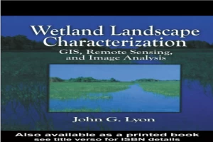
Wetland Landscape Characterization GIS Remote Sensing and Image Analysis Book PDF
(0)
Author:
Unspecified writerNumber Of Reads:
176
Language:
English
Category:
geographySection:
Pages:
144
Quality:
good
Views:
1251
Quate
Review
Save
Share
New
Book Description
This book was written to assist scientists, engineers, technicians and other resource managers in the evaluation of wetland boundaries and characteristics. Powerful tools - GIS, mapping, remote sensing - are described and demonstrated using practical applications and combined to yield landscape ecological data, and ecological risk assessments. Using numerous technical methods, Wetland Landscape Characterization shows you how to evaluate the presence of wetlands, and the stressors, exposures and ecological systems - streams, lakes, terrestial - that influence their condition. A vital component of the book is the variety of quality assurance/quality control and accuracy assessment techniques presented throughout the text. A thorough understanding of these methods is critical to the success of your project.
JOHN G.LYON
Unspecified writer
Read More
Book Currently Unavailable
This book is currently unavailable for publication. We obtained it under a Creative Commons license, but the author or publisher has not granted permission to publish it.
Rate Now
5 Stars
4 Stars
3 Stars
2 Stars
1 Stars
Wetland Landscape Characterization GIS Remote Sensing and Image Analysis Quotes
Top Rated
Latest
Quate
Be the first to leave a quote and earn 10 points
instead of 3
Comments
Be the first to leave a comment and earn 5 points
instead of 3