Newly released
This book is new and will be uploaded as soon as it becomes available to us and if we secure the necessary publishing rights.

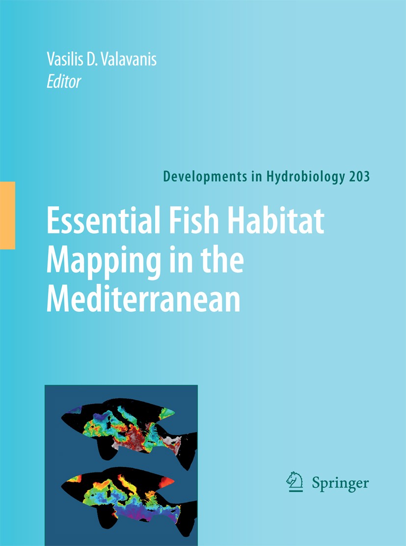
Essential Fish Habitat Mapping in the Mediterranean Book PDF
(0)
Author:
Vasilis ValavanisNumber Of Reads:
61
Language:
English
Category:
geographySection:
Pages:
296
Quality:
excellent
Views:
407
Quate
Review
Save
Share
Book Description
"Essential Fish Habitat Mapping in the Mediterranean" by Vasilis D. Valavanis is a comprehensive book that provides insights into the essential fish habitat (EFH) mapping process in the Mediterranean. The book focuses on the latest techniques and technologies used in EFH mapping, as well as their practical applications and potential benefits for sustainable fisheries management.
The book starts by introducing the concept of EFH and its importance in sustaining healthy fish populations. It then discusses the different types of habitats that support fish populations in the Mediterranean and the key environmental factors that affect them. The author also explains the various methods used for EFH mapping, including remote sensing, acoustic surveys, and field observations, among others.
Valavanis emphasizes the need for collaborative efforts among scientists, policymakers, and stakeholders to ensure effective EFH mapping and management. He also highlights the importance of using modern technology, such as geographic information systems (GIS) and machine learning algorithms, to improve the accuracy and efficiency of EFH mapping.
The book presents several case studies from the Mediterranean region to illustrate the practical applications of EFH mapping. These studies highlight the potential benefits of EFH mapping in supporting sustainable fisheries management, such as improving stock assessment, identifying critical habitats, and reducing bycatch and habitat damage.
Valavanis also discusses the challenges and limitations of EFH mapping, including data availability and quality issues, limited funding and resources, and the need for better collaboration and coordination among stakeholders.
Vasilis Valavanis
Vasilis Valavanis is a researcher at the Institute of Marine Biology of Crete (IMBC), Greece. His background is in Biological Conservation, GIS, and Remote Sensing through a multidisciplinary curriculum at the Departments of Geography, Ocean Engineering, Fisheries and Aquaculture, Forestry, and Zoology at the University of Florida, USA. He has participated in projects funded by the European Commission and the Greek Government on GIS developments in fisheries research, monitoring of algal blooms, mapping of benthic habitats, extraction of oceanographic features from marine EO data, and use of EO data to the seasonal mapping of species population dynamics.
Book Currently Unavailable
This book is currently unavailable for publication. We obtained it under a Creative Commons license, but the author or publisher has not granted permission to publish it.
Rate Now
5 Stars
4 Stars
3 Stars
2 Stars
1 Stars
Essential Fish Habitat Mapping in the Mediterranean Quotes
Top Rated
Latest
Quate
Be the first to leave a quote and earn 10 points
instead of 3
Comments
Be the first to leave a comment and earn 5 points
instead of 3