Newly released
This book is new and will be uploaded as soon as it becomes available to us and if we secure the necessary publishing rights.

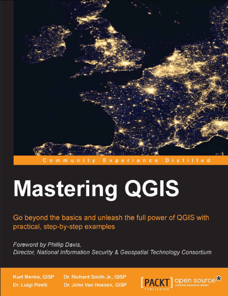
Mastering QGIS Book PDF
(0)
Author:
Kurt MenkeNumber Of Reads:
233
Language:
English
Category:
geographySection:
Pages:
420
Quality:
excellent
Views:
2048
Quate
Review
Save
Share
Book Description
QGIS is the leading alternative to proprietary GIS software. Although QGIS is described as intuitive, it is also, by default, complex. Knowing which tools to use and how to apply them is essential to producing valuable deliverables on time. Starting with a refresher on QGIS basics, this book will take you all the way through to creating your first custom QGIS plugin. By the end of the book, you will understand how to work with all the aspects of QGIS, and will be ready to use it for any type of GIS work. From the refresher, you will learn how to create, populate, and manage a spatial database and walk through styling GIS data, from creating custom symbols and color ramps to using blending modes. In the next section, you will discover how to prepare vector and raster data for processing and discover advanced data creation and editing techniques. The last third of the book covers more technical aspects of QGIS, including working with the Processing Toolbox, how to automate workflows with batch processing, and how to create graphical models. Finally, you will learn how to create and run Python data processing scripts and write your own QGIS plugin with pyqgis.
Kurt Menke
Book Currently Unavailable
This book is currently unavailable for publication. We obtained it under a Creative Commons license, but the author or publisher has not granted permission to publish it.
Rate Now
5 Stars
4 Stars
3 Stars
2 Stars
1 Stars
Mastering QGIS Quotes
Top Rated
Latest
Quate
Be the first to leave a quote and earn 10 points
instead of 3
Comments
Be the first to leave a comment and earn 5 points
instead of 3